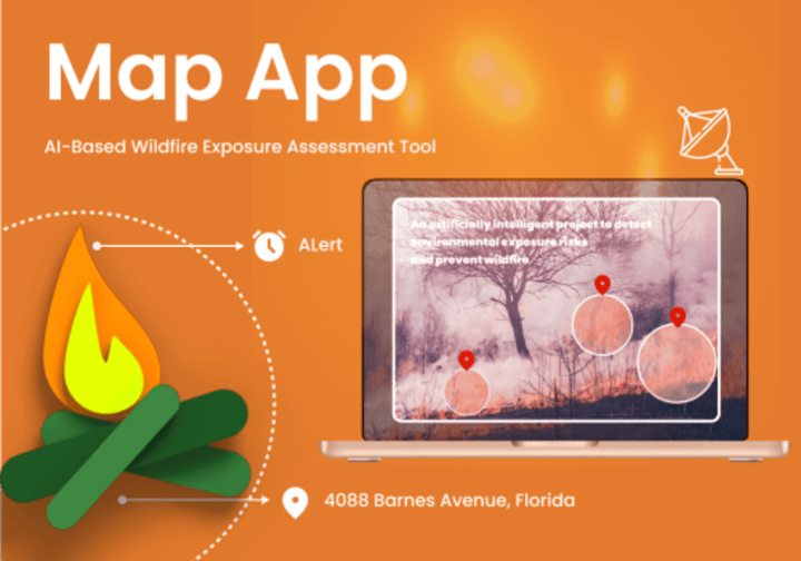
Mapapp - AI wildfire risk assessment app

Description
An is an AI wildfire risk assessment app to detect environmental exposure risks and prevent wildfire events by identifying areas that are at high risk of catastrophic fire caused by wildland fuels through Arial Visualization. It represents the high-risk area in the form of rasters within different sections of diameters and provides users with critical information on fire likelihood, combustible materials, and escape times.
Challenge
- Geospatial Data Accuracy and Resolution
Accurately assessing wildfire risk requires high-resolution geospatial data to identify areas at risk due to proximity to natural vegetation and forested regions. Variations in the quality and resolution of available data can hinder the app’s ability to provide precise risk assessments.
- AI Model Accuracy and Reliability
Ensuring that the AI models used for wildfire detection and environmental exposure risk assessment are accurate and reliable is crucial. Inaccurate predictions could lead to misinformation and affect users’ safety decisions.
Solutions
We developed Mapapp, an innovative AI wildfire risk assessment app designed to assess environmental exposure risks and mitigate wildfire events in Canada. The app features an interactive map that provides a comprehensive view of the entire Canadian region at a zoomed-out level, utilizing advanced aerial visualization and AI wildfire detection techniques to identify areas at high risk of catastrophic fires caused by wildland fuels. These high-risk zones are represented visually in the form of raster layers, allowing users to easily discern varying degrees of fire danger.
Users can interact with the map by highlighting specific regions of interest. Upon selecting an area, the app delivers crucial information regarding the likelihood of a fire occurring there, including insights into the types of combustible materials present, the proximity of nearby forests, and historical data on fire activity. Moreover, the app calculates and presents estimated escape times based on the highlighted area’s characteristics, helping users understand how quickly a fire could reach their property if a wildfire were to ignite in the vicinity.
Impact
By offering these invaluable insights, the app empowers users to make informed decisions about property development and safety. Whether they are considering building a new home or assessing the risks associated with an existing property, users gain the knowledge needed to implement proactive safety measures and develop effective evacuation plans in the event of a wildfire. Ultimately, this application aims to enhance community resilience and protect lives and property from the growing threat of wildfires in Canada through cutting-edge wildfire prevention technology and wildfire sensors.
As part of our commitment to innovation, we are proud to present a real-time wildfire detection case study that showcases the capabilities of our wildfire hazard detection app and Wildfire safety solutions. This case study highlights how our AI wildfire detection technology has successfully identified potential wildfire threats


